
ACTIVE OUTDOORS: Loch Ness run heads for the heart of darkness
Register for free to read more of the latest local news. It's easy and will only take a moment.

Darkness was sure to descend soon enough as I set out from the side of Loch Ness in the late afternoon twilight. My headtorch was packed ready, and it wouldn’t be too long before it was called into action.
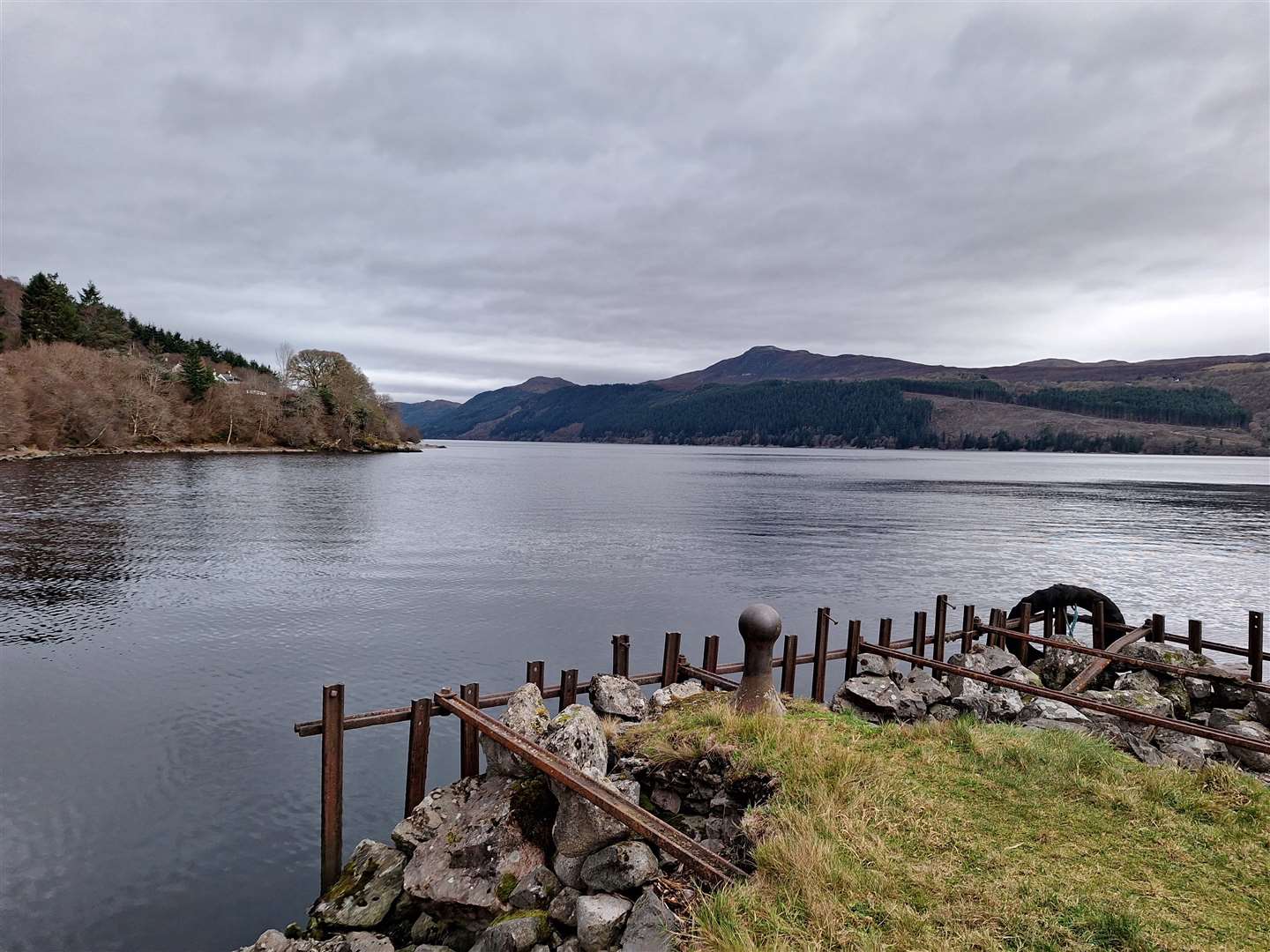
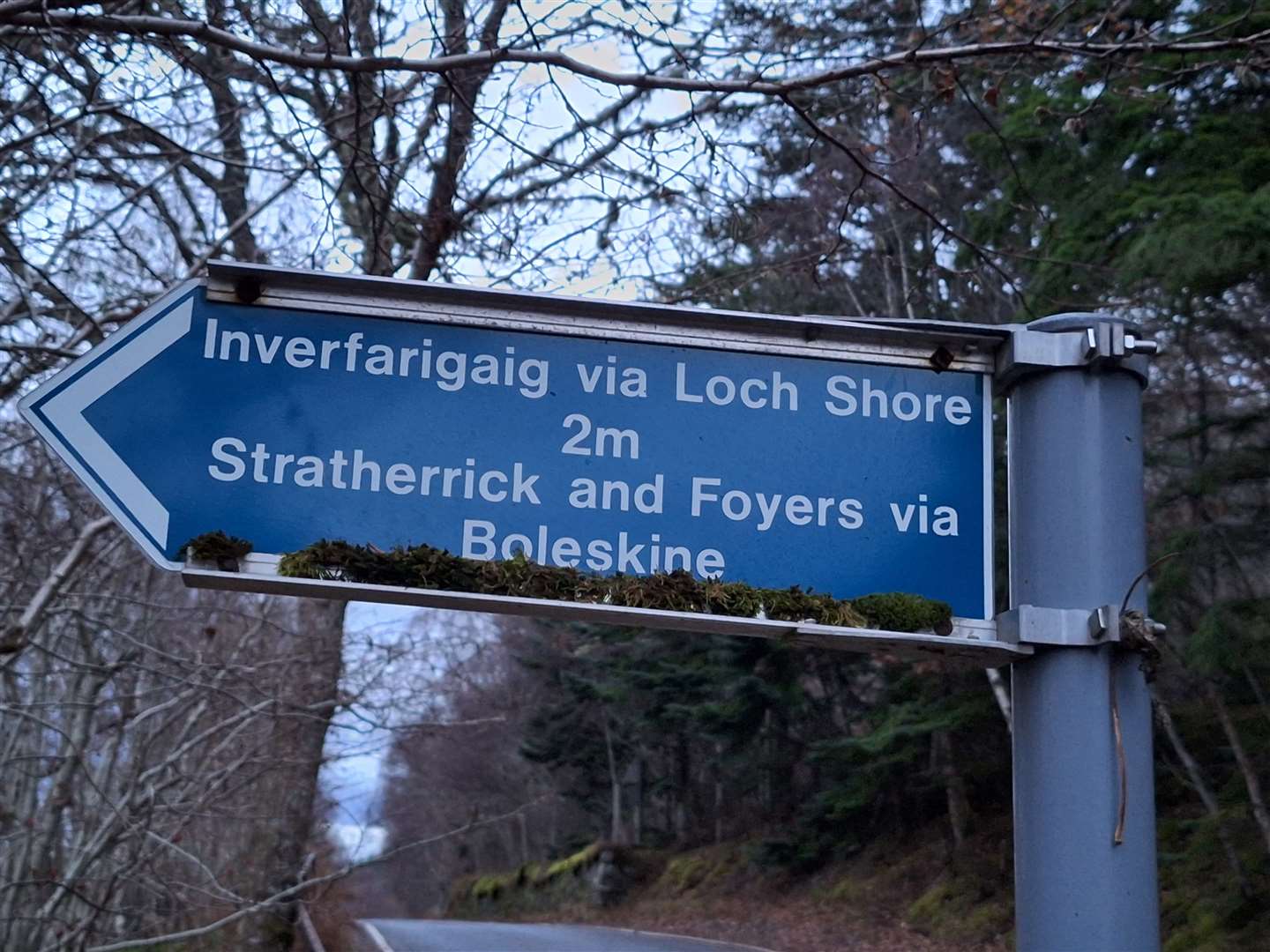
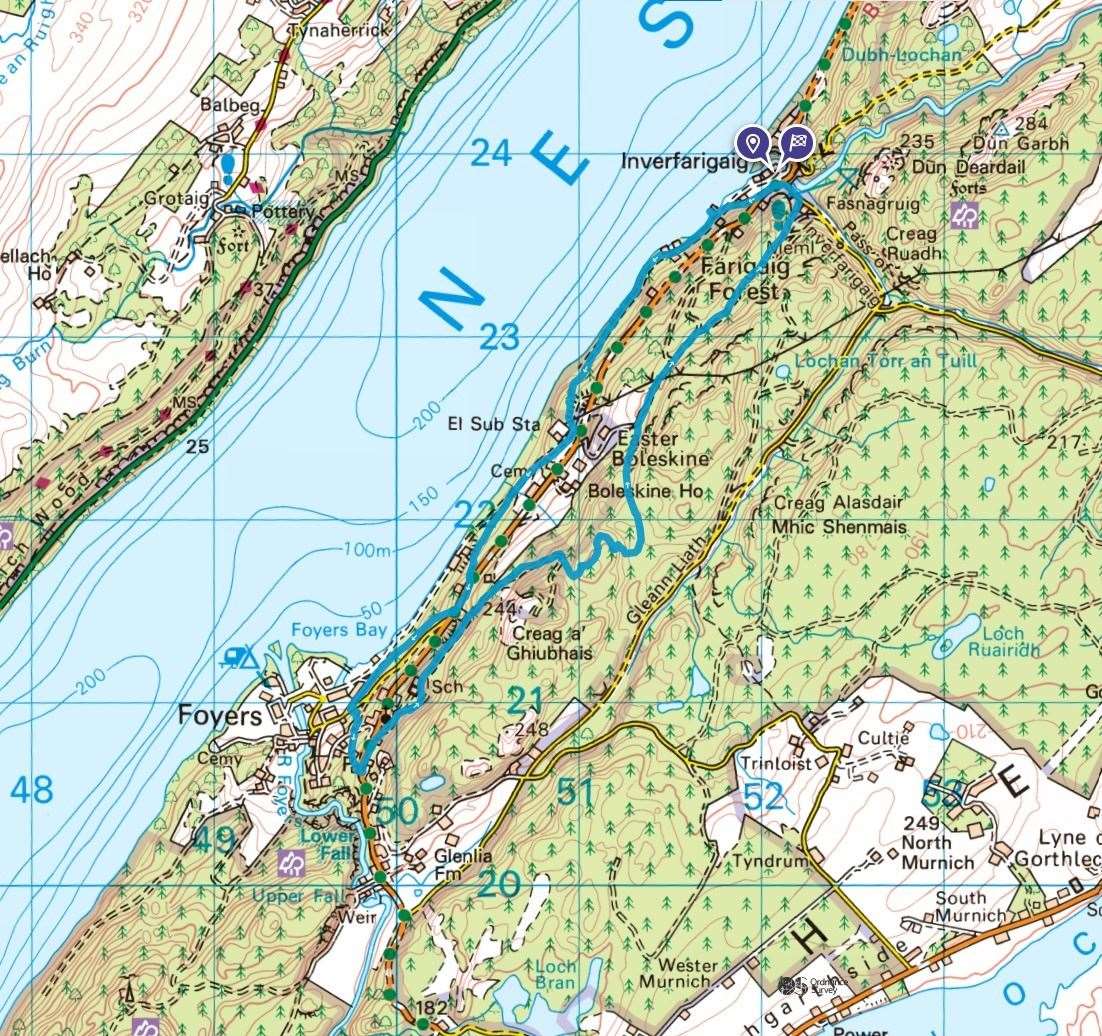
Still, as I set off from the layby beside the B852 just south of the Errogie turnoff, I couldn’t resist a quick detour onto the historic Inverfarigaig Pier, which sits at the bottom of a minor road that leads to a track.
The Thomas Telford pier, built between 1803 and 1822, once had a prominent Victorian extension to welcome visitors sailing or paddle steaming up the loch. Today it is no more than a ruin, with a little path through the gorse that guards it from the landward side.
Standing on what’s left of the rubble-filled pier, there are wonderful views from this secluded spot up and down the loch, as well as across to the prominent lump of Meall Fuar-mhonaidh.
On this occasion, though, I didn’t hang around too long, wanting to make some progress before turning the torchlight on. I enjoy running at night, but it’s a whole different experience, especially when some of the paths on this route are often hidden below a bed of old autumn leaves and not so easy to follow in the fading light.
I continued from the pier, passing between a few houses then veering right of a last driveway to follow a path below the house, then past a gate into the woods.
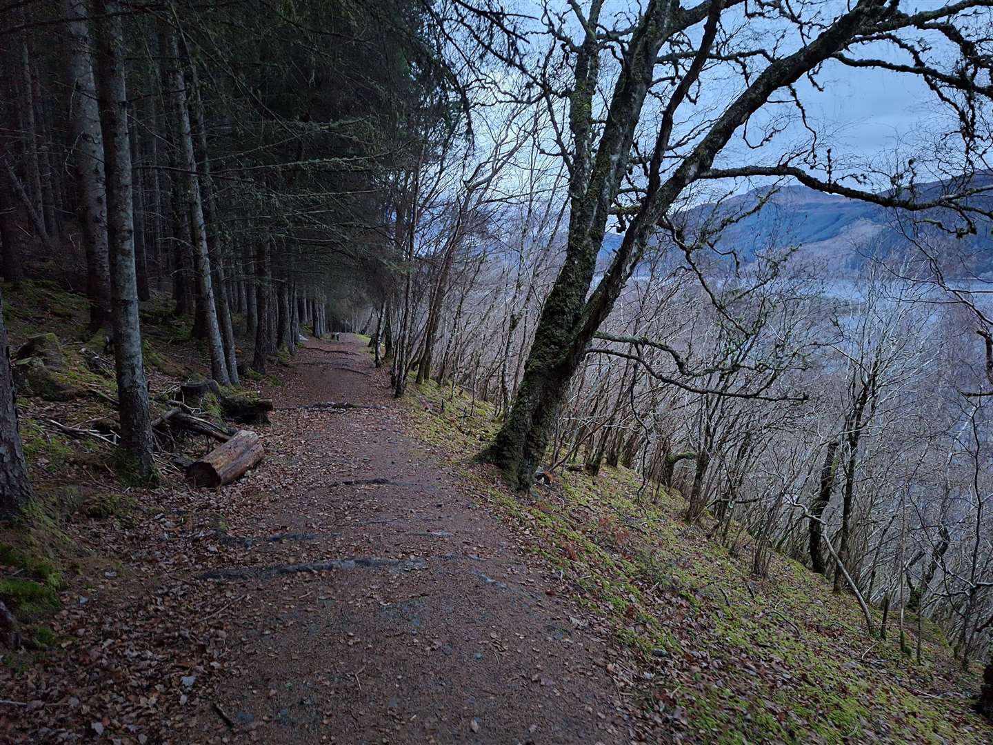
There’s an old forest track to follow through here, which gradually rises away from the water’s edge. After it starts to climb a little steeper, I came across a few fallen trees blocking the way, but they were straightforward enough to find my way around.
You soon approach a substation, and the path turns left to climb to an old road above it. Heading right downhill, I finally got to stride out into something more akin to a run, but I was looking out for the path that heads off to the left, steeply up into the woods before reaching the power station at the end of this road.
This birchwood is a lovely spot, but I usually do this route the other way round, so it is a tough slog going uphill here. Eventually, after meandering through the trees, you cross a stile then follow a set of wooden steps up to the main road, turning right along it for a short while.
Just before the junction to Lower Foyers, look out for a path signed to Foyers Pier and Loch Ness. This is a lovely path with views through the trees to Loch Ness, but care is needed for the roots and rocks and I was focused as the darkness loomed.
At the bottom, continue ahead to merge onto a road past a house then, before you reach the junction, head left up some steps. Cross straight over the next road to follow the sign to Upper Foyers and the next which simply says “Path”.
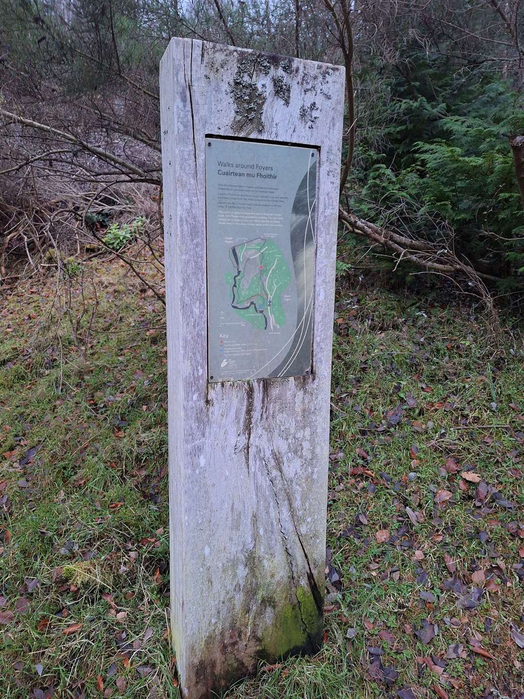
Turning right where this path emerges, look out for the map plinth between the two road options and follow that path behind the hotel up into the woods. If you keep following the main path, you’ll reach the shop, café and toilets above the Falls of Foyers, but I was looking for a quicker return, so I forked left in front of a green box to emerge on the road below the upper village.
Going left here, I headed down into the dip then forked right towards the school then right where a right of way sign to Inverfarigaig has been daubed with a graffiti red cross.
The light was really disappearing now, especially as I made my way up the track under the dense tree cover. At one point a bird, possibly an owl, flew swiftly up from the forest floor as it heard me approach.
The sights and sounds of the forest were so different at dusk, adding an eerie feel but also a privileged insight into a more active time for wildlife.
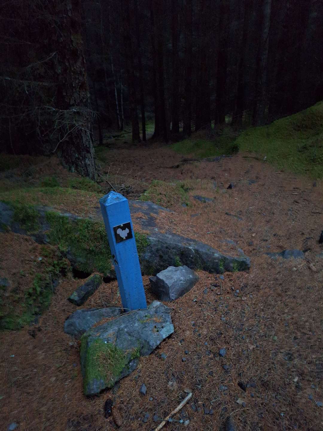
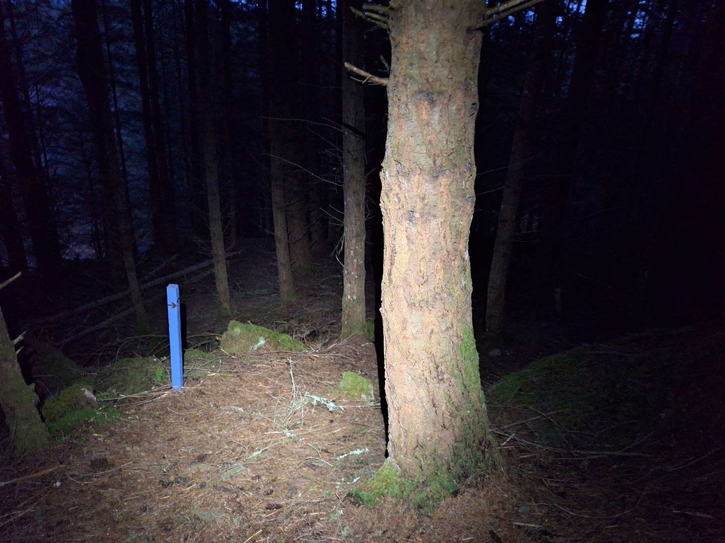
It’s a long slog up this track, but eventually after a sharp right-hand bend, a blue marker post for the South Loch Ness Trail points left, downhill slightly into an even darker part of the forest. I switched on the headtorch now and entered this otherworldly place.
I know the paths well here, but everything looks so different in the dark. Soon, though, I was up at the rocks on Toman Tarsuinn that give a view through gaps between mature trees to Meall Fuar-mhonaidh.
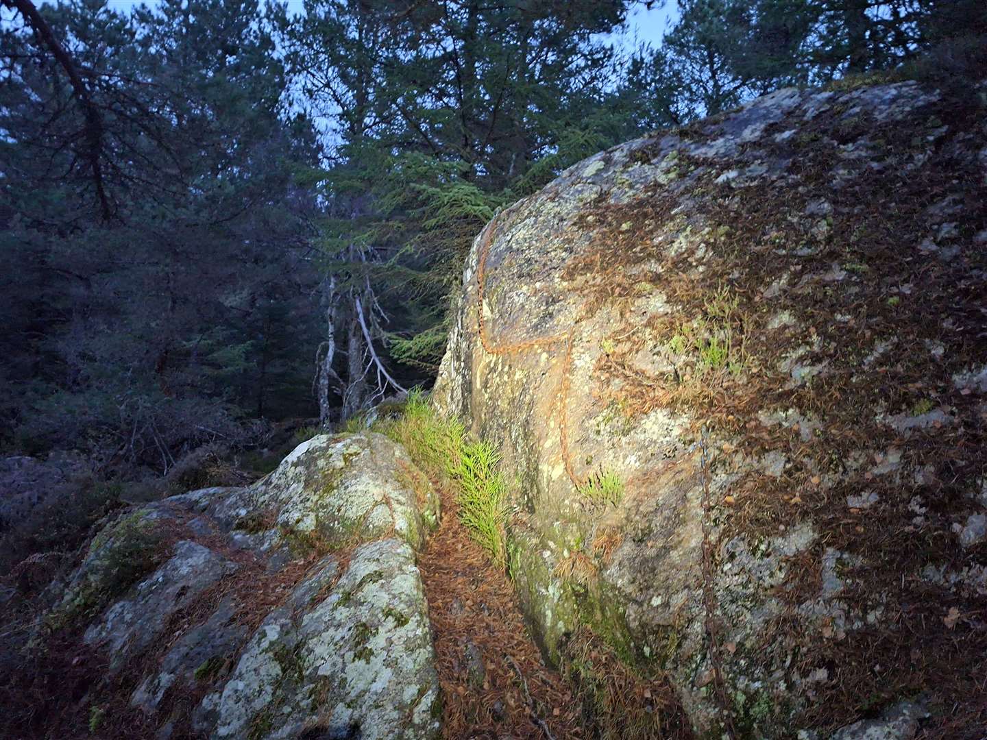
There was some light in the clearer areas at the top, but as I followed the path down it was back into the dark forest, keeping a concentrated eye on the twists and turns in this path. I looked out for the chained rock up to the right that is easy to miss, then followed the boggy path round the rocks to soon descend on a steep, twisting route through densely packed trees in the pitch black.
There’s little sign of an obvious path even in daylight here, so I followed the route as best I could, reassured every so often by another blue post until I emerged at the level ground below. It is always very boggy down here, but thankfully the recent freeze meant the ground remained fairly solid.
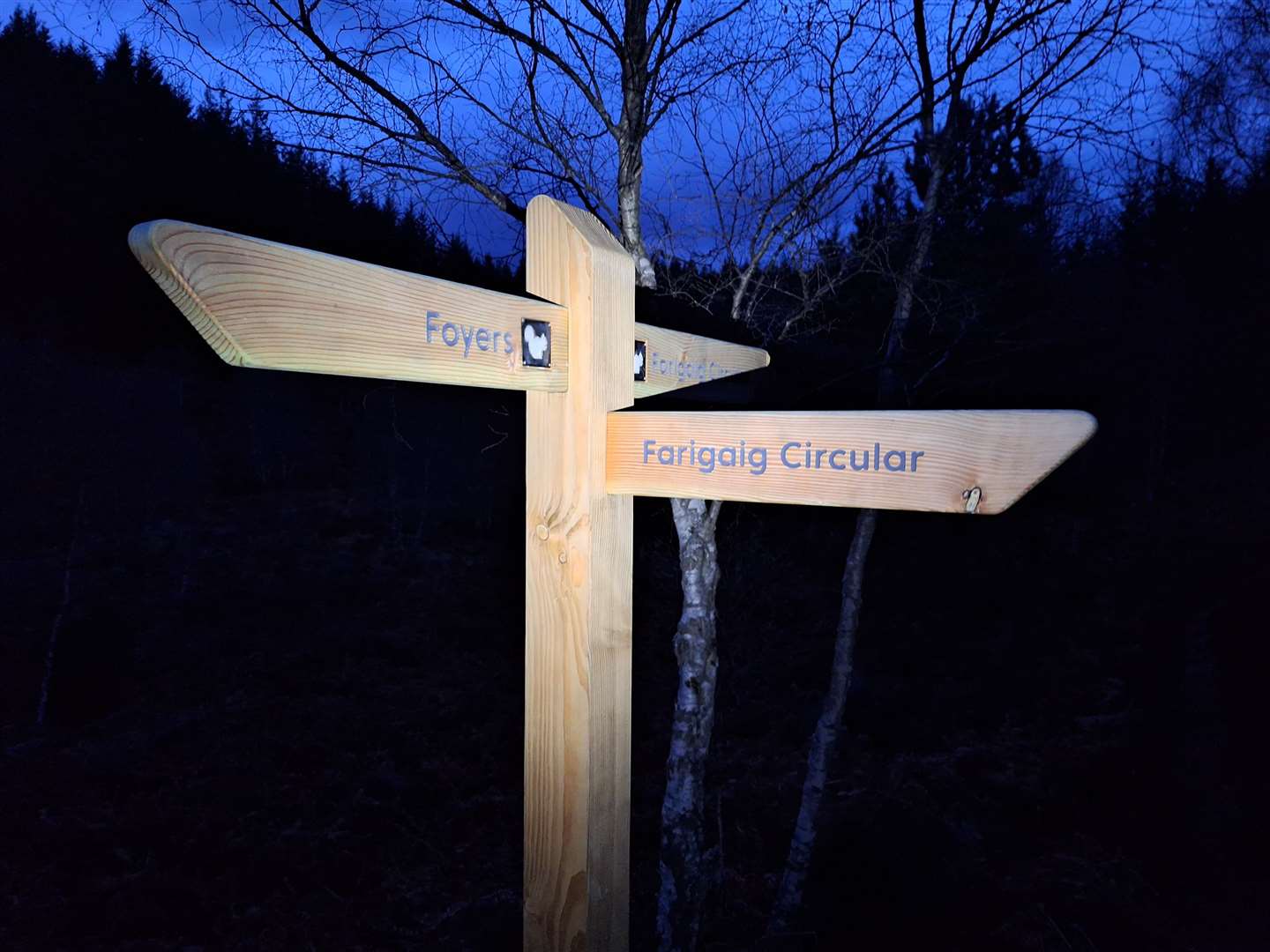
A little way on, a new fingerpost marked the Farigaig Circular route to the right and straight on. My route goes straight on here and follows the most direct line past Boleskine back to Inverfarigaig.
Initially it drops to a forest junction at Easter Boleskine, then you climb straight ahead before passing under a line of pylons. Keep ahead again at a junction with a newer forestry track and stick to the main track all the way through the magical Farigaig forest, dropping steeply at the end to the car park.
I turned left now to follow the road down the last hundred metres or so to the B852 close to my starting point.
Route details
Inverfarigaig and Foyers
Distance 5.5 miles / 9km
Terrain Varied paths, including steps, steep slopes, roots, rocks and other uneven surfaces
Start/finish Inverfarigaig
Map OS Landranger 26; OS Explorer 416
A run in the fading light along the shore of Loch Ness and into the woods at Boleskine
Click here to see the route in OS Maps